Las Vegas
United States

Seattle
United States
Las Vegas
Seattle
💰 Budget
🛡️ Safety
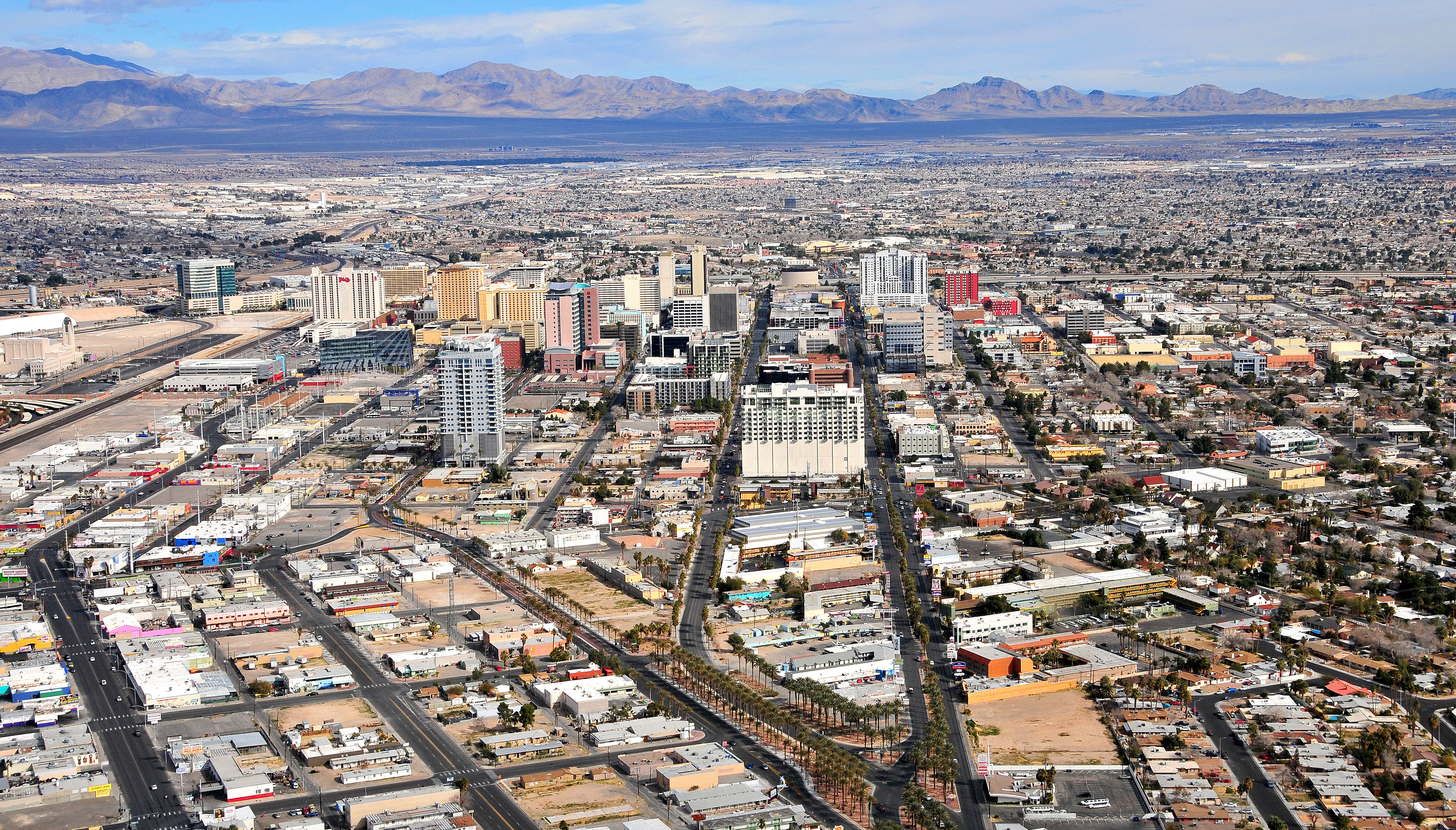
Las Vegas
The Strip itself is heavily policed and generally safe for tourists, with extensive casino security and LVMPD patrols. Off-Strip neighborhoods vary significantly — areas immediately east and north of downtown can be rough, particularly at night. The main risks on the Strip are pickpockets in crowds, aggressive timeshare touts, and scammers posing as celebrities or show promoters. Drink spiking and gambling-related disputes are reported concerns.
Seattle
Seattle is generally safe for visitors, with low rates of violent crime in tourist areas. Property crime (car break-ins, package theft, bike theft) is common. Homelessness is visible in parts of downtown, Pioneer Square, and SoDo. Avoid empty downtown streets and Third Avenue late at night.
⭐ Ratings
🌤️ Weather
Las Vegas
Las Vegas has a hot desert climate with extreme temperature swings between summer and winter. Summers are brutally hot — June through August regularly sees highs above 40°C (104°F), with July averages around 42°C. Winters are mild and pleasant, with daytime highs around 15°C. Spring and autumn are the ideal windows: warm, dry, and comfortable. Flash floods are possible year-round but most common in late summer monsoon season.
Seattle
Seattle has a temperate oceanic climate — mild year-round with a pronounced wet season from October through April. Summers are dry, sunny, and cool. The famous rain is usually a fine drizzle ("Seattle mist") rather than downpours. Snow at sea level is rare.
🚇 Getting Around
Las Vegas
Getting around the Strip is surprisingly challenging despite its apparent simplicity — the boulevard looks walkable but distances between resorts are much longer than they appear. A mix of the Las Vegas Monorail, the Deuce bus, ride-hailing apps, and your feet will cover most needs on the Strip. A rental car is strongly recommended for off-Strip destinations like Red Rock Canyon, Hoover Dam, and Valley of Fire.
Walkability: The Strip looks walkable on a map but is deceptive — the distance from Mandalay Bay to the Stratosphere is over 4 miles, and summer temperatures make outdoor walking dangerous. Between individual resorts in a cluster (e.g., Cosmopolitan to Bellagio), walking is fine. In summer, use the air-conditioned casino connectors and skywalks linking several properties. Downtown Fremont Street is very walkable within the Experience canopy.
Seattle
Seattle transit is run by Sound Transit (regional) and King County Metro (buses, streetcar, water taxi). Light rail, buses, streetcars, and Washington State Ferries form a useful network. An ORCA card works across all systems. Driving downtown is painful — traffic is consistently ranked among America's worst.
Walkability: Downtown, Pike Place Market, Pioneer Square, and Seattle Center are all walkable — but prepare for steep hills. Capitol Hill, Ballard, and Fremont are each walkable neighborhoods, but you'll want transit between them. The Link light rail plus walking will cover most of what you want to see.
The Verdict
Choose Las Vegas if...
you want 24-hour neon spectacle — Strip megaresorts, the Sphere, celebrity-chef dining, pool clubs, and Red Rock + Grand Canyon + Zion within day-trip range
Choose Seattle if...
you want Pike Place Market, coffee culture, Puget Sound ferries, and Mt. Rainier & Olympic National Park at the doorstep
Las Vegas
Seattle