Las Vegas
United States

Washington, D.C.
United States
Las Vegas
Washington, D.C.
💰 Budget
🛡️ Safety
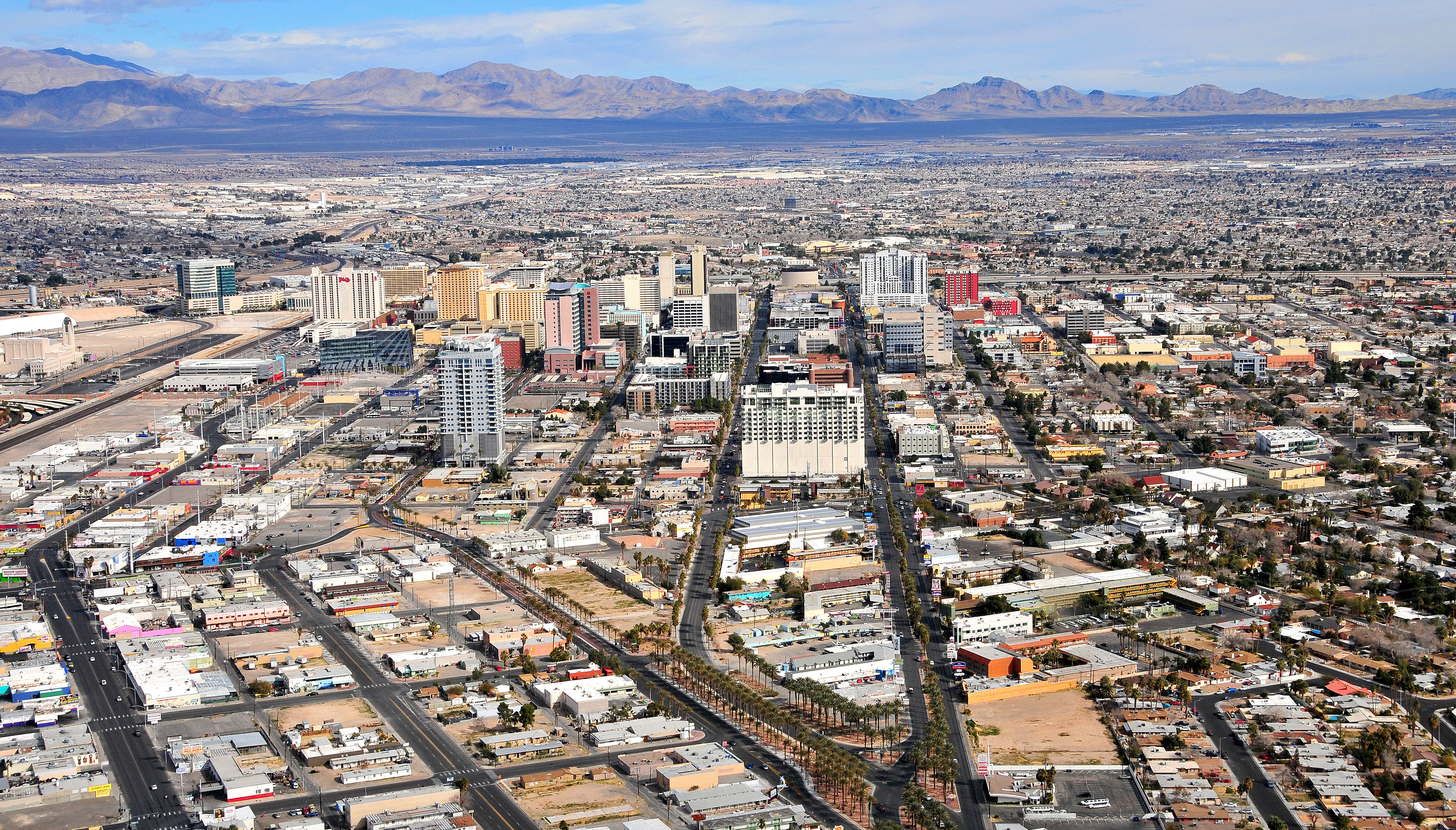
Las Vegas
The Strip itself is heavily policed and generally safe for tourists, with extensive casino security and LVMPD patrols. Off-Strip neighborhoods vary significantly — areas immediately east and north of downtown can be rough, particularly at night. The main risks on the Strip are pickpockets in crowds, aggressive timeshare touts, and scammers posing as celebrities or show promoters. Drink spiking and gambling-related disputes are reported concerns.
Washington, D.C.
Tourist areas of DC — the National Mall, Capitol Hill, Downtown, Georgetown, Dupont Circle, and Foggy Bottom — are generally safe during the day and well into the evening. Like any major US city, DC has neighborhoods with higher crime, mostly in parts of Southeast and Northeast that tourists rarely visit. Petty theft, car break-ins, and occasional phone snatching are the main concerns.
⭐ Ratings
🌤️ Weather
Las Vegas
Las Vegas has a hot desert climate with extreme temperature swings between summer and winter. Summers are brutally hot — June through August regularly sees highs above 40°C (104°F), with July averages around 42°C. Winters are mild and pleasant, with daytime highs around 15°C. Spring and autumn are the ideal windows: warm, dry, and comfortable. Flash floods are possible year-round but most common in late summer monsoon season.
Washington, D.C.
Washington, DC has a humid subtropical climate with four distinct seasons. Summers are famously hot and sticky (the city was built on reclaimed swampland), while winters are cold but rarely extreme. Spring and fall are glorious and are the best times to visit.
🚇 Getting Around
Las Vegas
Getting around the Strip is surprisingly challenging despite its apparent simplicity — the boulevard looks walkable but distances between resorts are much longer than they appear. A mix of the Las Vegas Monorail, the Deuce bus, ride-hailing apps, and your feet will cover most needs on the Strip. A rental car is strongly recommended for off-Strip destinations like Red Rock Canyon, Hoover Dam, and Valley of Fire.
Walkability: The Strip looks walkable on a map but is deceptive — the distance from Mandalay Bay to the Stratosphere is over 4 miles, and summer temperatures make outdoor walking dangerous. Between individual resorts in a cluster (e.g., Cosmopolitan to Bellagio), walking is fine. In summer, use the air-conditioned casino connectors and skywalks linking several properties. Downtown Fremont Street is very walkable within the Experience canopy.
Washington, D.C.
DC has an excellent public transit system run by WMATA (Washington Metropolitan Area Transit Authority). The Metro (subway) and Metrobus cover the city and much of the Maryland and Virginia suburbs. A SmarTrip card (or contactless phone tap) works across all Metro, bus, and Capital Bikeshare. Driving downtown is frustrating and parking is very expensive — transit or walking is the way to go.
Walkability: Central DC is one of the most walkable cities in the US, with wide sidewalks, a clear street grid, and short blocks. The National Mall itself is longer than it looks on maps (roughly 3 km end to end), so plan accordingly. Georgetown and Capitol Hill are especially pleasant on foot, though some DC hills can be steep.
The Verdict
Choose Las Vegas if...
you want 24-hour neon spectacle — Strip megaresorts, the Sphere, celebrity-chef dining, pool clubs, and Red Rock + Grand Canyon + Zion within day-trip range
Choose Washington, D.C. if...
you want world-class museums (all free), iconic monuments, Metro convenience, and four seasons of American political history
Las Vegas
Washington, D.C.