
Grand Canyon National Park
One of the planet's most familiar landscapes still lands the first time you walk up to Mather Point. The canyon is 277 miles long, a mile deep, and took the Colorado River roughly six million years to carve. South Rim (open year-round, 90% of visitors) is where most trips happen; North Rim is 10% of the traffic and closed half the year. The rule on Bright Angel: down is optional, up is mandatory.
Tours & Experiences
Browse bookable tours, activities, and day trips in Grand Canyon National Park
📍 Points of Interest
Loading map...
At a Glance
- Pop.
- No permanent residents; ~4.7M visitors/year
- Timezone
- Phoenix
- Dial
- +1
- Emergency
- 911
The Grand Canyon stretches 277 miles (446 km) long, up to 18 miles (29 km) wide, and over a mile (1.6 km) deep — carved by the Colorado River over an estimated 5-6 million years
Rim elevations sit at roughly 7,000 feet (South Rim) to 8,000+ feet (North Rim) — altitude absolutely matters, even for hikers arriving from sea level
Designated a UNESCO World Heritage Site in 1979, the park protects one of the most complete geological records on Earth, exposing nearly 2 billion years of rock layers
The South Rim is open year-round and sees 90% of the park's ~4.7 million annual visitors; the North Rim (1,000 ft higher, cooler, wetter) is only open mid-May through mid-October
Rim-to-rim is only 10 miles as the raven flies, but 215 miles by road — the canyon is a full-day drive to cross by car even though you can see across it
Grand Canyon West (home of the Skywalk) is on Hualapai Tribal land, 250 miles west of the national park — it is a completely separate destination and should not be confused with the South Rim
Top Sights
Mather Point
📌The first viewpoint most visitors reach from the main visitor center — a broad, railed overlook with sweeping views of the central canyon. Expect genuine chaos at sunrise and sunset, especially summer. Still essential, but arrive early or walk the Rim Trail five minutes in either direction for far quieter views.
Bright Angel Trail
📌The most famous trail into the canyon — 9.5 miles one-way to the Colorado River via switchbacks, rest houses, and Indian Garden (Havasupai Gardens). Rangers repeat the mantra: "DOWN IS OPTIONAL, UP IS MANDATORY." Most day hikers turn around at 1.5 Mile Resthouse or 3 Mile Resthouse. Water available seasonally.
South Kaibab Trail
📌Shorter and steeper than Bright Angel, with the canyon's most dramatic ridge views (Ooh Aah Point, Cedar Ridge, Skeleton Point). Descending only is strongly recommended — there is NO water and NO shade on the entire trail. Great for descending to Phantom Ranch and ascending via Bright Angel.
Desert View Watchtower
📌A 70-foot stone tower designed by architect Mary Colter in 1932, inspired by Ancestral Puebloan watchtowers. The highest viewpoint on the South Rim with views of the Colorado River and Painted Desert. Interior murals by Hopi artist Fred Kabotie. The eastern end of Desert View Drive, 25 miles from the village.
Hermit Road & Hopi Point Sunset
📌A 7-mile scenic road along the western South Rim, closed to private vehicles March through November (shuttle only). Hopi Point juts farthest into the canyon of any South Rim viewpoint and is the classic sunset spot — arrive 45 minutes early for a railing position. Mohave and Pima Points are equally spectacular with smaller crowds.
Yavapai Point & Geology Museum
📌Arguably the most informative viewpoint on the South Rim — floor-to-ceiling windows face directly down at Phantom Ranch and the Colorado River, with scale models and layered geology exhibits that make sense of what you are seeing. A must-stop for context before you hike.
North Rim Grand Canyon Lodge
📌The only lodge perched directly on the North Rim, with a massive stone terrace and log sunroom looking out over Bright Angel Canyon. Rocking chairs on the porch, a fireplace in the sunroom, and a completely different, cooler, wetter, forested atmosphere than the South Rim. Open mid-May to mid-October only.
Rim Trail
📌A mostly paved, mostly flat trail stretching 13 miles along the South Rim from South Kaibab Trailhead to Hermits Rest. Connects every major village viewpoint. Shuttle stops along the way mean you can walk one direction and ride back. The easiest way to see the canyon without hiking in.
Off the Beaten Path
North Rim Grand Canyon Lodge Porch at Sunset
The massive stone terrace and log sunroom at the North Rim lodge, looking straight out into Bright Angel Canyon. Order a drink from the saloon, grab a rocking chair or terrace bench, and stay until the last color fades.
Only 10% of canyon visitors ever cross to the North Rim — the views are arguably better, it's 10-15°F cooler, and you can actually hear yourself think. The porch crowd is mostly in-the-know road-trippers and park junkies, not bus groups.
Toroweap / Tuweep Overlook
A vertiginous, 3,000-foot sheer drop directly to the Colorado River with zero railings. Located on the remote North Rim's western edge — reached only via 60+ miles of rough dirt road requiring a high-clearance 4WD vehicle. Primitive camping only, no services, no cell signal.
The most insane viewpoint in the entire park, and almost nobody gets there. Standing at the edge with the river roaring directly below is one of the most visceral experiences you can have on public land in America. Go in dry conditions only — the road turns to impassable mud in rain.
Shoshone Point
A secret viewpoint on the South Rim reached via a 1-mile walk (each way) from an unmarked gravel pullout on Desert View Drive. A single stone viewpoint juts out with almost no one else there. Often used for weddings — check ahead as it can be reserved.
The unmarked trailhead is the point — Shoshone is hidden from park maps by design. You get a classic South Rim panorama with total solitude while Mather Point 5 miles away is packed shoulder-to-shoulder.
Grand Canyon Railway from Williams
A restored 1901-era passenger train running 65 miles from Williams, Arizona to the South Rim — a 2 hour 15 minute trip each way with strolling musicians, staged train robberies, and a full bar. Round trip $67-220 depending on class. Skips the worst park parking chaos.
Unapologetically touristy, but genuinely fun and solves the South Rim parking nightmare. The arrival platform is a short walk from the Bright Angel Trailhead, and you get a day at the rim without driving. Especially good for families.
Grand Canyon Skywalk (Grand Canyon West)
A glass-floored horseshoe cantilever extending 70 feet over the canyon on Hualapai Tribal land — 250 miles west of the national park. Separate entrance, separate fee ($84-99 for the Legacy package including Skywalk access, shuttle, and meal).
Honest assessment: the Skywalk is NOT the national park, the canyon is shallower and less dramatic here, and the engineered-attraction vibe is very different from the raw wildness of the South Rim. Worth it as a day trip from Las Vegas (125 miles) — not worth the detour from the actual national park.
Insider Tips
Climate & Best Time to Go
Monthly climate & crowd levels
The Grand Canyon has three distinct microclimates stacked on top of each other. Rim temperatures (7,000-8,000 ft) are 10-15°C (20-30°F) cooler than the inner canyon and Phantom Ranch at river level (2,400 ft). A pleasant 24°C spring day on the rim can be a brutal 38-40°C in the canyon. The North Rim is cooler and wetter than the South Rim year-round. Monsoon season (July-September) brings dramatic afternoon thunderstorms with dangerous lightning on exposed rims.
Spring
March - MayRim: 36-68°F / Inner Canyon: 59-90°F
Rim: 2-20°C / Inner Canyon: 15-32°C
One of the best windows for hiking into the canyon — cool enough below the rim to be safe, warm enough above to be pleasant. Late snow possible in March. North Rim facilities open mid-May. Bright Angel and South Kaibab become serious business by late May as inner canyon temps climb.
Summer
June - AugustRim: 50-82°F / Inner Canyon: 77-108°F+
Rim: 10-28°C / Inner Canyon: 25-42°C+
Rim is pleasant; inner canyon is brutally, dangerously hot. NPS issues heat warnings daily. Most canyon rescues happen to day hikers in June-August. Monsoon thunderstorms develop most afternoons July-September with deadly lightning on exposed rims and flash floods in slot canyons. Arizona does not observe DST — long daylight hours.
Autumn
September - NovemberRim: 28-72°F / Inner Canyon: 54-90°F
Rim: -2-22°C / Inner Canyon: 12-32°C
Arguably the best time to visit. Monsoon ends mid-September, crowds thin, temperatures are ideal on the rim and manageable inner canyon. North Rim closes to services mid-October and fully by late October/early November depending on snow. Aspens turn gold on the North Rim in late September.
Winter
December - FebruaryRim: 18-46°F / Inner Canyon: 41-68°F
Rim: -8-8°C / Inner Canyon: 5-20°C
South Rim stays open year-round and winter is magical — snow rims red rock, tourist numbers are a fraction of summer, and inner canyon hiking temps are mild. Bring traction devices for icy rim trails. North Rim is closed and inaccessible. Roads may close temporarily after storms.
Best Time to Visit
March through May and September through November offer the ideal combination of pleasant rim weather, safe inner-canyon hiking temperatures, and manageable crowds. Avoid July-August for inner-canyon hiking — temperatures routinely exceed 42°C (108°F) and rescues spike. North Rim is only accessible mid-May through mid-October.
Spring (March - May)
Crowds: Moderate (low in March, high by late May)Arguably the best window. Rim temperatures are pleasant, inner canyon is still safe for hiking, wildflowers bloom in April-May, and crowds build but have not peaked. North Rim opens mid-May with late-season snow possible. Occasional snow on the South Rim through mid-April.
Pros
- + Ideal hiking temperatures
- + Wildflowers in bloom
- + Waterfalls at peak flow in side canyons
- + North Rim opens in May
Cons
- − Spring break weeks extremely crowded
- − Late snow can still fall on the rim
- − Inner canyon begins heating up in May
Summer (June - August)
Crowds: Very high — peak seasonPeak season with maximum crowds and the most dangerous inner-canyon conditions. Rim is pleasant in the 20s (°C) but the canyon cooks at 40°C+. Most search-and-rescue calls happen now. Monsoon season (July-September) brings violent afternoon thunderstorms with lightning and flash flood risk.
Pros
- + North Rim fully open
- + Long daylight hours
- + All ranger programs running
- + Monsoon skies are dramatic photography
Cons
- − Extreme inner-canyon heat (dangerous)
- − Parking fills by 9am
- − Accommodation prices peak
- − Thunderstorms and lightning on exposed rims
Autumn (September - November)
Crowds: Moderate in September, low in October-NovemberThe other ideal window. Temperatures drop into hikable range on the rim and inner canyon, monsoons end in mid-September, aspens turn gold on the North Rim, and crowds thin substantially. North Rim closes to services mid-October and road closes with first major snowfall (typically late October/early November).
Pros
- + Ideal hiking temperatures
- + Golden aspens on North Rim in late September
- + Reduced crowds
- + Clear post-monsoon skies
Cons
- − North Rim closes mid-October through late October/early November
- − Days shorten rapidly
- − First rim snowfall possible by late October
Winter (December - February)
Crowds: Very lowThe South Rim in winter is a magical secret — snow on red rock, tiny crowds, and mild inner-canyon hiking temperatures. Bring microspikes for icy rim trails. The North Rim is completely closed and inaccessible. Road closures after storms are temporary (usually cleared within a day).
Pros
- + Minimal crowds
- + Snow-on-red-rock photography
- + Mild inner canyon hiking temperatures
- + Lowest accommodation rates
Cons
- − North Rim completely closed
- − Icy rim trails need traction
- − Some services reduced
- − Short daylight hours
🎉 Festivals & Events
Grand Canyon Star Party
JuneAn 8-night astronomy festival at both South and North Rims with telescopes set up nightly, ranger talks, and constellation tours. The park is a designated International Dark Sky Park — on moonless nights the Milky Way is stunning.
Grand Canyon Music Festival
Late August - early SeptemberA chamber music festival held in the Shrine of the Ages auditorium at the South Rim, attracting classical musicians and audiences from across the country since 1984.
Native American Heritage Day Celebration
NovemberCultural demonstrations, dances, and artist showcases by Navajo, Hopi, Hualapai, and Havasupai communities. Held at Desert View and the South Rim visitor center.
Safety Breakdown
Very Safe
out of 100
Crime at the Grand Canyon is essentially a non-issue. Natural hazards are the real story — people die here every year, almost always from preventable mistakes. The single most important rule: DOWN IS OPTIONAL, UP IS MANDATORY. The canyon punishes overconfidence. Most search-and-rescue operations target day hikers who went too far, too fast, with too little water, in too much heat.
Things to Know
- •DOWN IS OPTIONAL, UP IS MANDATORY — whatever hike you plan, budget double the time for the return climb. The Bright Angel return gains 4,400 feet.
- •Turn around when you have drunk half your water — not when you are tired, not when you feel like it. Half your water is the rule.
- •Drink electrolytes with your water, not just water. Hyponatremia (water intoxication without salt) kills hikers here every year.
- •Never hike from the rim to the river and back in a single day — NPS explicitly warns against it. Overnight at Phantom Ranch or Indian Garden instead.
- •Stay at least 6 feet from every rim edge — there are no railings at most viewpoints, rock crumbles, and people die yearly taking selfies.
- •Yield to mule trains on trails — step to the inside (cliff) side and stay quiet until they pass.
- •Lightning kills on exposed rims during monsoon afternoons — if you hear thunder, leave viewpoints and get below the rim immediately.
- •Altitude affects fitness — if you flew in from sea level yesterday, your ceiling for exertion today is much lower than you think.
Natural Hazards
Emergency Numbers
General Emergency
911
NPS Emergency / Park Dispatch
928-638-7805
Grand Canyon Clinic (South Rim)
928-638-2551
Flagstaff Medical Center
928-779-3366
Costs & Currency
Where the money goes
USD per dayQuick cost estimate
Customize per category →Estimates based on regional averages. Flight prices vary by season and airline.
budget
$70-110
Campsite at Mather or Desert View, groceries and simple meals, shuttle-only transit, free Rim Trail hikes, shared park entrance
mid-range
$200-350
Mid-tier in-park or Tusayan hotel, restaurant meals, car rental, Grand Canyon Railway or guided sunset tour
luxury
$500-900+
El Tovar Hotel or Bright Angel rim cabin, fine dining at El Tovar, private guide, helicopter tour, Phantom Ranch if you hit the lottery
Typical Costs
| Item | Local | USD |
|---|---|---|
| EntryGrand Canyon entry (per vehicle, 7 days) | $35 | $35 |
| EntryAmerica the Beautiful annual pass (all NPS) | $80 | $80 |
| AccommodationMather Campground (tent site) | $18 | $18 |
| AccommodationDesert View Campground (tent site) | $25 | $25 |
| AccommodationBackcountry permit + per-person fee | $18 + $12/person/night | $18 + $12/person/night |
| AccommodationBright Angel Lodge (historic cabin) | $150-250 | $150-250 |
| AccommodationEl Tovar Hotel (in-park premium) | $280-500+ | $280-500+ |
| AccommodationTusayan hotel (outside park, 1 mi) | $150-300 | $150-300 |
| AccommodationPhantom Ranch dormitory (lottery) | $60/person + meals | $60/person + meals |
| FoodCoffee and pastry at lodge cafe | $6-10 | $6-10 |
| FoodBright Angel Lodge lunch | $14-22 | $14-22 |
| FoodEl Tovar Dining Room dinner | $35-70 | $35-70 |
| TransportPark shuttle buses | Free | Free |
| TransportGrand Canyon Railway round trip | $67-220 | $67-220 |
| TransportArizona Shuttle from Flagstaff | $35-45 one way | $35-45 |
| ActivitiesGuided sunset tour | $50-90 | $50-90 |
| ActivitiesMule day ride to Abyss Overlook | $165 | $165 |
| ActivitiesHelicopter tour (25 min) | $250-350 | $250-350 |
💡 Money-Saving Tips
- •Buy the America the Beautiful annual pass ($80) if visiting 3+ national parks in a year — it pays for itself immediately
- •Camp at Mather Campground ($18) or Desert View ($25) instead of paying $200+ for in-park lodging — book on recreation.gov 6 months ahead
- •Stay in Tusayan (1 mile outside the South Entrance) for 30-50% cheaper rooms than in-park lodges with only a 10-minute drive
- •Ride the free park shuttles everywhere — parking inside the village is impossible most of summer
- •Eat breakfast at Maswik Lodge Food Court or the Canyon Village Market (groceries) instead of the hotel dining rooms
- •Pack your own water bottles and refill at trailhead filling stations — save $5+ per water bottle at the lodges
- •Book Phantom Ranch via the lottery 15 months out at grandcanyonlodges.com — it is a fraction of tour prices but extremely competitive
- •Visit in shoulder season (March, April, late October, November) for lower lodging rates and smaller crowds
- •Arrive at the South Entrance before 9am or after 4pm to skip entry queues during summer and spring-break periods
US Dollar
Code: USD
Standard US Dollars. ATMs are available at the South Rim Visitor Center, Maswik Lodge, and in Tusayan — but cash is rarely essential. Credit cards and contactless payments work at every park lodging, restaurant, shuttle bus, and gift shop. Bring a small amount of cash for tips and small transactions.
Payment Methods
Credit and debit cards are accepted everywhere inside the park — at entrance stations, visitor centers, shuttles, lodging, restaurants, gas stations, and gift shops. Visa and Mastercard are universal; American Express widely accepted. Tap-to-pay and mobile wallets (Apple Pay, Google Pay) work at most terminals. Cash is useful only for tips, small gift-shop items, and street vendors.
Tipping Guide
18-20% of the pre-tax bill is standard for table service. 20%+ for good service. Many payment terminals prompt 18%, 20%, or 25%. Counter service does not require tipping (optional $1-2).
$2-5 per bag for bellhops and luggage help. $3-5 per night for housekeeping, left in the room with a note. El Tovar, Bright Angel, and North Rim Lodge all expect this.
15-20% of the tour cost for guided day tours. $5-10 per person for shorter activities. Mule tour wranglers appreciate $10-20 per rider.
$1-2 per drink or 15-20% of the total tab at El Tovar, Bright Angel, and North Rim lounges.
10-15% of the trip cost split among the guide team is standard on multi-day Colorado River trips — $30-60 per person per day for each rafter.
How to Get There
✈️ Airports
Flagstaff Pulliam Airport(FLG)
80 miles south of South RimThe closest commercial airport, but small with limited routes (primarily American Eagle from Phoenix and Dallas). Rental cars available. Arizona Shuttle runs daily service from Flagstaff to the South Rim (~$35-45 one way).
✈️ Search flights to FLGPhoenix Sky Harbor International(PHX)
220 miles south of South Rim (3.5-4 hrs by car)The best major airport option — full international service, huge rental car selection, and reliable Arizona Shuttle service to Flagstaff and onward to the canyon. Most Southwest itineraries fly into PHX and drive.
✈️ Search flights to PHXHarry Reid International (Las Vegas)(LAS)
280 miles west of South Rim (4.5 hrs by car)Very cheap flights globally, huge rental car fleet, and a scenic drive via US-93 and I-40. Best for travelers combining Grand Canyon with Las Vegas, Zion, or a Southwest loop. Many Vegas day tours bus to the South Rim but it's a long day — 12+ hours round trip.
✈️ Search flights to LAS🚆 Rail Stations
Flagstaff Amtrak
80 miles southThe Southwest Chief (Chicago-Los Angeles) stops daily in Flagstaff. From there, Arizona Shuttle or rental car connects to the South Rim (80 miles north). A surprisingly practical car-free option for US-based travelers.
Williams Junction (Amtrak) → Grand Canyon Railway
60 miles southAmtrak Southwest Chief stops at Williams Junction; a bus connector shuttles to downtown Williams where the Grand Canyon Railway departs for the South Rim. A full car-free rail-only route exists from coast to the rim.
🚌 Bus Terminals
Grand Canyon South Entrance Station
The most-used park entry, directly north of Tusayan on Highway 64. Entry is $35 per vehicle for 7 days, or $20/person on foot/bike. Expect 15-45 minute entry queues in summer — arrive before 9am or after 4pm to minimize waits.
Desert View Entrance Station
The east entrance on Highway 64, 25 miles east of the village — the natural approach coming from Page (Horseshoe Bend, Antelope Canyon) or Monument Valley. Almost never has queues.
North Rim Entrance Station
On Highway 67 at the North Rim — open mid-May through mid-October/early November depending on snow. Facilities close October 15; the road itself closes with the first major snowstorm.
Getting Around
The free park shuttle system is the backbone of South Rim transportation March through November. Color-coded routes (Village, Kaibab/Rim, Hermits Rest, Tusayan) connect every viewpoint, trailhead, and village facility. Hermit Road is CLOSED to private vehicles March 1 through November 30 — shuttle only. Desert View Drive is open to private vehicles year-round. A car is essential for Desert View Drive, reaching the North Rim, or leaving the park. There is no commercial taxi or ride-share service inside the park.
Free Park Shuttles (South Rim)
Free with park entranceFour color-coded routes: Village (blue) serves lodging and visitor center; Kaibab/Rim (orange) serves the Rim Trail and South Kaibab Trailhead; Hermits Rest (red) serves Hermit Road; Tusayan (purple) connects to the town of Tusayan. Buses run every 10-30 minutes, early morning to after sunset.
Best for: All in-park travel on the South Rim — use these rather than driving
Private Vehicle
Fuel: $30-60 per tank; in-park parking freeNeeded for Desert View Drive (25 miles east to Desert View Watchtower), reaching Tusayan lodging outside park hours, or driving to the North Rim (215 miles via Marble Canyon). South Rim village parking is extremely limited in summer — arrive before 9am or park at Tusayan and shuttle in.
Best for: Desert View Drive, North Rim access, flexibility
Rim Trail (Walking)
FreeA mostly paved, mostly level 13-mile trail from South Kaibab Trailhead to Hermits Rest, connecting every major village viewpoint. Shuttle stops along the way let you walk one direction and ride back. The most underrated way to see the canyon.
Best for: Viewpoint-hopping without the traffic and parking stress
Grand Canyon Railway
$67-220 round trip per adultHistoric passenger train from Williams, Arizona (65 miles south) directly to the South Rim village — 2 hours 15 minutes each way with strolling musicians and staged train robberies. Round trip $67-220 depending on class. Skips the parking chaos entirely.
Best for: Visitors staying in Williams wanting to skip driving and parking
Guided Bus Tours
$80-250 per person per dayPink Jeep Tours, Buck Wild Hummer Tours, and several Flagstaff/Sedona-based operators run day tours to Desert View, sunset viewpoints, and rim-to-Phantom-Ranch packages. Good for no-car travelers staying in Tusayan or Flagstaff.
Best for: Sunset tours, interpretive guiding, visitors without cars
🚶 Walkability
The South Rim village and Rim Trail system are extremely walkable — the biggest distances are handled by shuttle. Hiking trails into the canyon are steep and strenuous, not casual walks. The North Rim area is compact, with the lodge, trailheads, and viewpoints all within walking distance.
Travel Connections
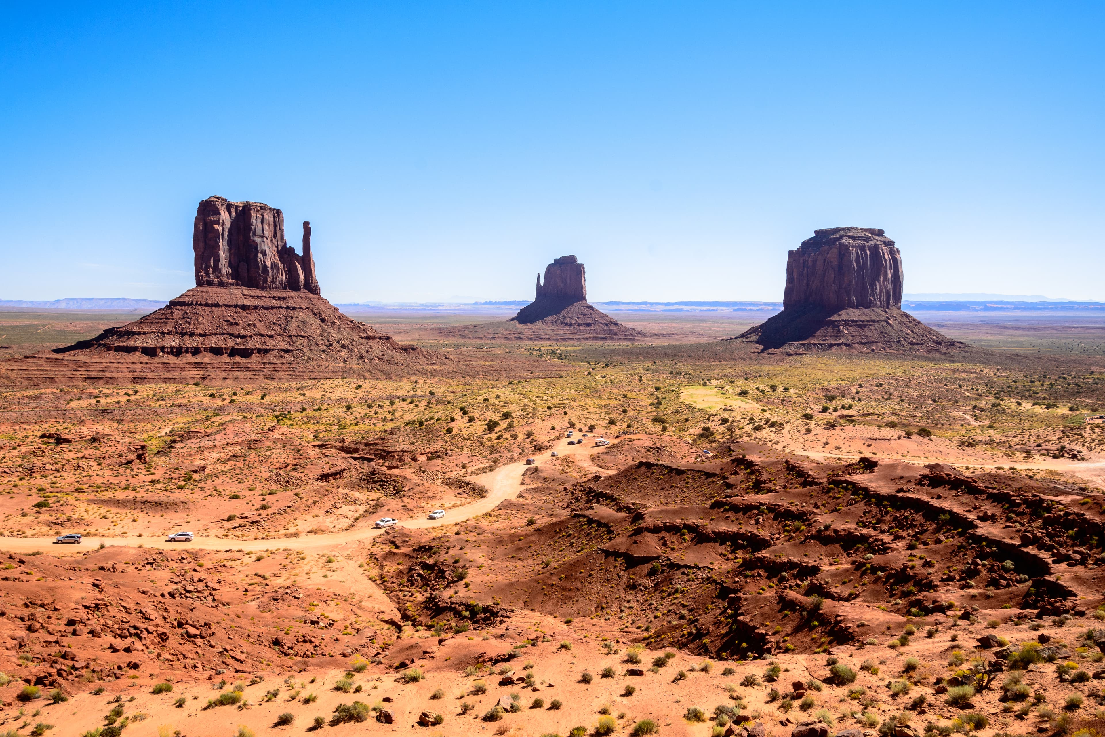
American Southwest
The overarching region connecting Grand Canyon to Zion, Bryce, Arches, Monument Valley, and the broader Colorado Plateau. If you are building a road trip, start with the regional overview for routing and itinerary ideas.
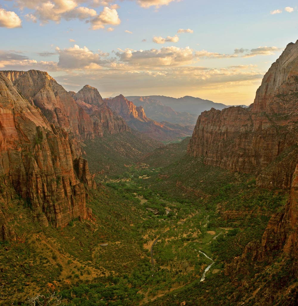
Zion National Park
Utah's signature red-rock slot canyon park with the famous Angels Landing chains, the Narrows river hike, and towering sandstone walls. The natural pairing with Grand Canyon on any Southwest road trip — dramatically different but geologically related.
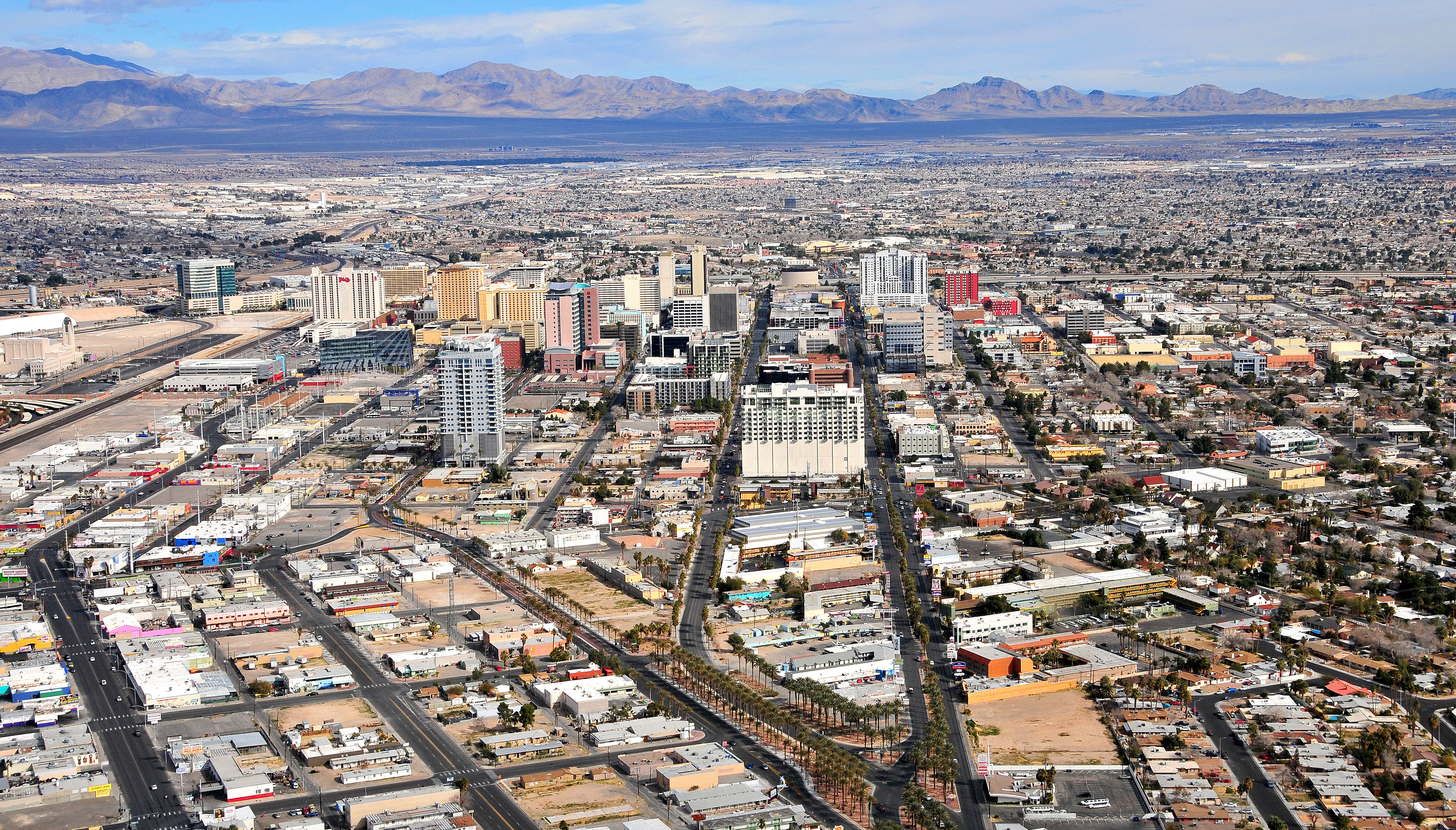
Las Vegas
The most common western gateway with cheap flights into LAS, endless rental cars, and a 280-mile drive east on US-93 and I-40. Many visitors pair Las Vegas with Grand Canyon West (closer, 125 miles) rather than the South Rim — factor that in.

Sedona
Red rock formations, vortex hikes, and an upscale desert-town vibe at 4,500 feet elevation. A mellower complement to the intensity of canyon hiking and a popular midpoint on Arizona road trips between Phoenix and the South Rim.

Los Angeles
The closest major West Coast city, commonly a fly-in or fly-out anchor for Southwest road trips. Route via I-40 takes you past Historic Route 66 towns including Kingman, Williams, and Flagstaff.

Yosemite National Park
California's granite cathedral park — Half Dome, El Capitan, giant sequoias, and alpine meadows. A very different landscape from Grand Canyon but a classic "two icon" national park road trip pairing. Usually done as separate trips rather than back-to-back.
Entry Requirements
The Grand Canyon is in the United States. International visitors need either a US visa or an approved ESTA (Electronic System for Travel Authorization) if traveling under the Visa Waiver Program. US citizens and permanent residents need only a driver's license or passport for domestic flights. The park itself has no entry requirements beyond the $35 per-vehicle park pass.
Entry Requirements by Nationality
| Nationality | Visa Required | Max Stay | Notes |
|---|---|---|---|
| US Citizens | Visa-free | Unlimited | Domestic travel — only a REAL ID-compliant driver's license or passport required for flights. |
| UK Citizens | Visa-free | 90 days | ESTA required ($21, apply online 72+ hours before travel). Valid 2 years or until passport expires. Biometric e-passport required. |
| EU Citizens | Visa-free | 90 days | ESTA required for most EU nationalities ($21). Some nationalities must apply for a full B-1/B-2 visa — check embassy website. |
| Australian Citizens | Visa-free | 90 days | ESTA required ($21). Processing is usually within minutes but can take up to 72 hours — apply early. |
| Canadian Citizens | Visa-free | 6 months | Valid passport required. No visa or ESTA needed. NEXUS pass holders can use expedited processing lanes. |
| Indian Citizens | Yes | As per visa | B-1/B-2 visitor visa required. Apply at US embassy/consulate. Interview and biometrics required. Processing can take 2-12 months depending on location. |
| Chinese Citizens | Yes | As per visa | B-1/B-2 visa required. 10-year multiple-entry visas are common. Interview and biometrics required at US embassy/consulate. |
Visa-Free Entry
Tips
- •Apply for ESTA only on the official esta.cbp.dhs.gov site — avoid third-party sites that charge higher fees
- •Passport must be valid for the duration of your US stay (no 6-month rule for most Western nationalities, but verify)
- •Your $35/vehicle park pass is valid for 7 consecutive days and covers the whole vehicle and occupants
- •Buy the America the Beautiful annual pass ($80) if visiting multiple US national parks within 12 months
- •Carry ID at all times — the park is federal property and rangers may request identification
- •US land border crossings (from Mexico) require a passport or enhanced driver's license, not just a driver's license
Shopping
Shopping at the Grand Canyon is split between park-run concession stores and the historic Mary Colter-designed buildings. Authentic Native American crafts are the signature purchase — but quality and authenticity vary wildly. Buy from tribal members directly, from park-vetted venues like Hopi House, or from reputable gateway shops in Flagstaff. Avoid cheap replicas from highway gift shops.
Hopi House
historic crafts shopDesigned by Mary Colter in 1905 to resemble a traditional Hopi dwelling, stocked with authentic Hopi, Navajo, and Zuni jewelry, katsina dolls, pottery, and rugs. Pieces are priced accordingly and come with certificates of authenticity. One of the best-vetted sources for genuine Native American crafts anywhere in the Southwest.
Known for: Authentic Hopi pottery, Navajo jewelry, katsina dolls, certified Native American crafts
El Tovar Gift Shop
historic lodge shopInside the 1905 El Tovar Hotel on the rim — a mix of park merchandise, Southwest books, high-end Pendleton blankets, and historic photos. The hotel itself is worth a walk-through whether or not you buy anything.
Known for: Pendleton wool blankets, NPS books, park merchandise
Desert View Watchtower Shop
historic site shopInside the base of Mary Colter's Watchtower with a small but carefully curated selection of Native American crafts, geology books, and park souvenirs. Buy something small here to support the site.
Known for: Geology books, Native American crafts, Watchtower souvenirs
Bright Angel Lodge Shop
lodge shopA more casual park store inside the historic Bright Angel Lodge — good for practical gear you forgot (hats, sunscreen, trail snacks) along with standard NPS merchandise.
Known for: Trail hats, sunscreen, forgotten-essentials gear, standard park souvenirs
Verkamp's Visitor Center
historic buildingA former family-owned curio shop (1905-2008) now a Parks Canada-style visitor center with a small shop focused on park history, bookstore items, and classic NPS souvenirs.
Known for: Park history books, NPS passport stamps, vintage-style souvenirs
Williams & Flagstaff (Gateway Towns)
town shoppingWilliams has a Route 66 vibe with neon signs, old-school souvenir shops, and the Grand Canyon Railway depot gift store. Flagstaff has serious outdoor gear retailers (Peace Surplus, Babbitt's) for anything you need before heading into the backcountry.
Known for: Route 66 memorabilia, outdoor gear, regional books, last-chance supplies
🎁 Unique Souvenirs to Look For
- •NPS passport stamp from Grand Canyon National Park (stamp stations at visitor centers and Desert View)
- •Authentic Hopi katsina dolls, Navajo silver and turquoise jewelry, and Zuni fetish carvings — buy only from tribal members or vetted vendors with documentation
- •Pendleton Grand Canyon series wool blanket
- •A geology field guide to the canyon (reading the rock layers is genuinely rewarding)
- •NPS Grand Canyon patch or annual pass sticker for your backpack or bumper
- •Mule train or Grand Canyon Railway merchandise (hats, mugs, prints)
- •Historic Route 66 souvenirs from Williams — the classic highway runs through town
Language & Phrases
English is universal in the park. Signage is in English with some Spanish translation. The specialized vocabulary here is not a foreign language — it's the canyon/desert/hiking jargon that veterans speak. Knowing these terms makes ranger talks, trail signs, and park literature make sense immediately.
| English | Translation | Pronunciation |
|---|---|---|
| The rim | The top edge of the canyon (7,000-8,000 ft) | Both the South Rim and North Rim — where virtually all viewpoints and lodges are |
| Inner canyon | Anything below the rim down to the Colorado River | Radically different climate from the rim — much hotter, dryer |
| Rim-to-rim (R2R) | Hiking from one rim to the other in one trip (24+ miles) | The classic multi-day canyon traverse — typically North Rim to South Rim |
| R2R2R (rim-to-rim-to-rim) | Down and across and back up in one push — ~48 miles, 11,000 ft vertical | An ultra-distance challenge — only attempted by very fit runners |
| Phantom Ranch | The only lodge at the bottom of the canyon, on the river | FAN-tum ranch — lottery booking 15 months in advance |
| Bright Angel | The most famous trail from South Rim to the Colorado River | Also refers to the trail, the creek, and the lodge |
| Slot canyon | A narrow side canyon carved by water | Flash flood danger during monsoon storms |
| Monsoon | Summer thunderstorm season, July-September | mon-SOON — sudden violent afternoon storms and lightning |
| Havasupai | The tribe and reservation west of the park, home to Havasu Falls | ha-vah-SOO-pie — separate permit required, 1-2 year wait |
| Mule string | A train of pack mules on canyon trails | Always yield uphill on the cliff side and stay quiet |
| Leave No Trace | The ethical backcountry code: pack out everything | LNT for short — includes all food waste, toilet paper, and trash |
| Hyponatremia | Dangerously low sodium from drinking water without electrolytes | HY-po-nuh-TREE-mee-uh — kills canyon hikers yearly, drink with salt |